The Antelope Valley is about 75 miles north of central Los Angeles. My hope this map will help the reader to better understanding of where the Antelope Valley Poppy Reserve in relation to the Southern California area.
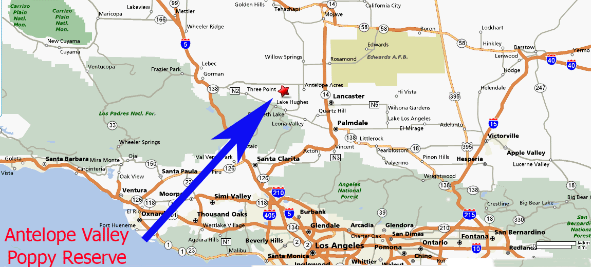
Here is a map of the western part of the Antelope Valley. The Poppy Reserve is located about 8 miles West of the City of Lancaster. The Reserve is somewhat close to major freeways. The 5 and 14 freeways being the nearest to the Reserve.
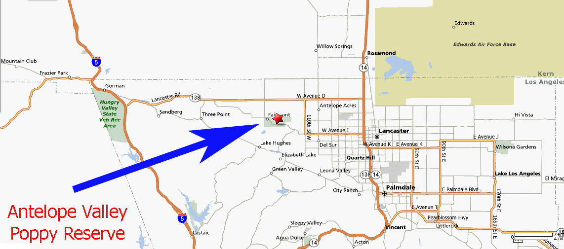
The western Antelope Valley again but zoomed in with slightly more detail. Poppy Reserve sits between Avenue D (or Hwy 138) to the North and 170th Street to the West and 110th Street to the East. The Southern part of the reserve is bounded by Lancaster Road.
Avenue D, 110th Street, Lancaster Road, the Poppy Reserve and the Ripley Desert Woodland are all hot linked from this map. Just run your mouse over a area of the map where the mouse curser changes into a hand and click! (feature NOT available at this moment)
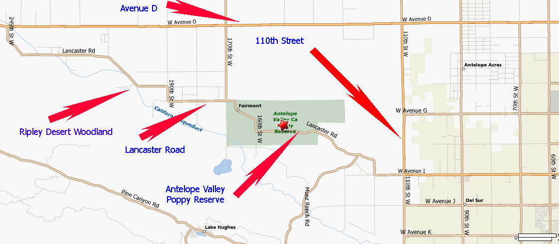
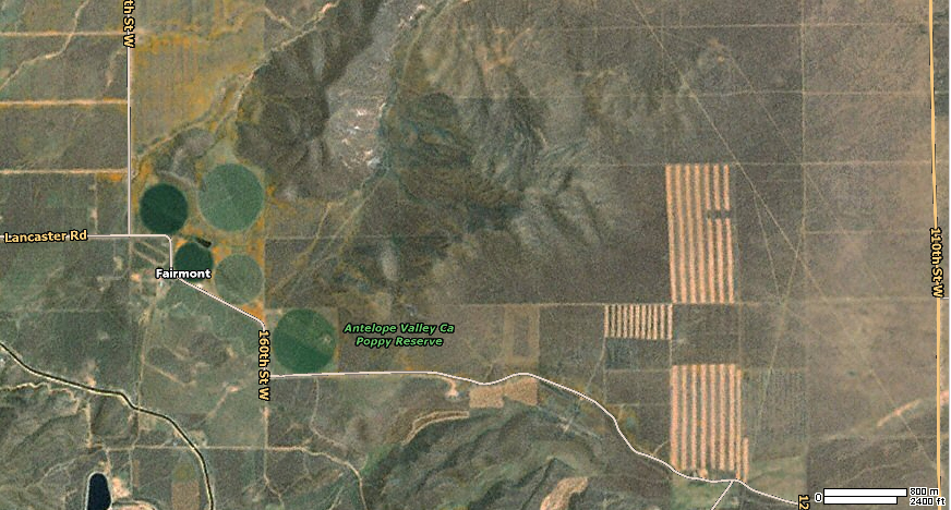
The aerial images below were found through Google. I do not have either a date the images were taken or the altitude. The round green areas seen at center left right next to the Poppy Reserve are center point irrigation fields, usually alfalfa. Notice the gold covered area between the irrigation circles and just to the north, you guessed it, Poppies! The 3 stripped areas to the center right are also irrigated farmland. At the bottom left you can see the Fairmont reservoir and what looks like a road or river running just north of the reservoir, this is actually the California Aqueduct.
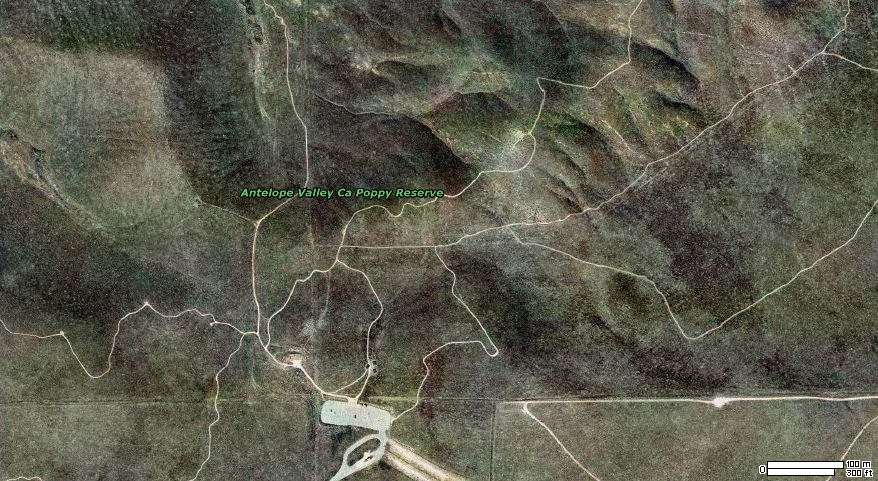
Another aerial image of the poppy fields taken at a lower elevation. At the bottom center of the image you can see the parking lot and just below it is the entrance road. The 3 square dots in the clearing just north of the parking lot are probably the 3 information kiosk stands. The white lines are obviously the many trails winding around the reserve.